Back to catalog
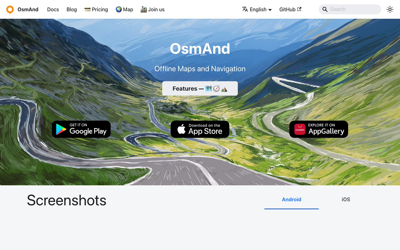
OsmAnd
GPS Navigation
No reviews yet
Advanced offline maps for outdoor activities
FreemiumIOSANDROIDWorldwide
About
OsmAnd offers detailed offline maps based on OpenStreetMap with hiking, cycling, and skiing trails. Features topographic data, route planning, GPX import, voice navigation, and customizable map display.
Key Features
- Topographic Maps
- Hiking Trails
- GPX Support
- Voice Navigation
- Customizable Display
Availability
Available Worldwide
This app works in all countries and regions
Information
- Category
- Navigation
- Subcategory
- GPS Navigation
- Price
- Freemium
- Platforms
- IOS, ANDROID
- Coverage
- Worldwide
- Rating
- No reviews yet
Similar Apps
View all in Navigation
Free
Trainline
Public Transit
European train tickets and schedules
No reviews yet
Worldwide

Free
Busbud
Public Transit
Book bus tickets worldwide
No reviews yet
Worldwide

Free
Omio
Public Transit
Book trains, buses, and flights
No reviews yet
Worldwide

Free
Moovit
Public Transit
Global public transit app
No reviews yet
Worldwide

Free
Transit
Public Transit
Real-time public transit tracking
No reviews yet
Worldwide